Common History
OK, so let’s tackle the elephant on the heath before we get stuck into this week’s blog.
No doubt all Terroir readers know this, but just to be certain, common land is NOT owned by ‘everybody’ or the ‘community’ or the ‘commoners’. It will be owned by someone (eg the Lord of the Manor) or, more often these days, by some body (such as a local authority or the National Trust), who are responsible for managing what happens to it.

By a happy coincidence, Terroir recently visited Limpsfield Commons and also obtained a copy of Shirley Corke’s posthumously published book of the same name.
Shirley Corke’s detailed and quite extraordinary history of the Commons is the result of a historical landscape survey, commissioned by the National Trust in the 1990s. If you want to experience the life and landscape of lowland common land through time, want an exemplar in how to research and interpret a landscape, or live locally and want to delve into your local history, then this is the book for you (and no, we’re not on commission!) https://limpsfieldsurrey.com/2021/12/07/limpsfield-commons-new-book-on-our-beautiful-common-now-available-for-purchase/
Limpsfield parish is in the far east of Surrey, right on the Kent border (and is none the worse for that). It is geologically diverse, stretching down the scarp slope of the North Downs (lovely views), over the intervening ribbon of Gault clay (spring line villages), back up onto the Greensand Ridge (more in a bit) and then down again onto the clay lands of the Low Weald. Limpsfield Common and Limpsfield Chart are, like so many commons in Surrey, located on the Greensand.
Here’s an image of what it looked like around 1893.

Extract from Ordnance Survey, One-inch to the mile, Revised New Series Revised: 1893 Published: 1895. Reproduced with the permission of the National Library of Scotland' https://maps.nls.uk/index.html
The concept of a Surrey Heath is often perceived to be a heathery expanse of acid sandy common land, once grazed and now rapidly disappearing under a sturdy layer of post war, upstart woodland or housing, or a thinner veneer of military training land or golf course. Limpsfield’s commons do illustrate much of this but Corke’s history may imply a more complex history than many of us realised.
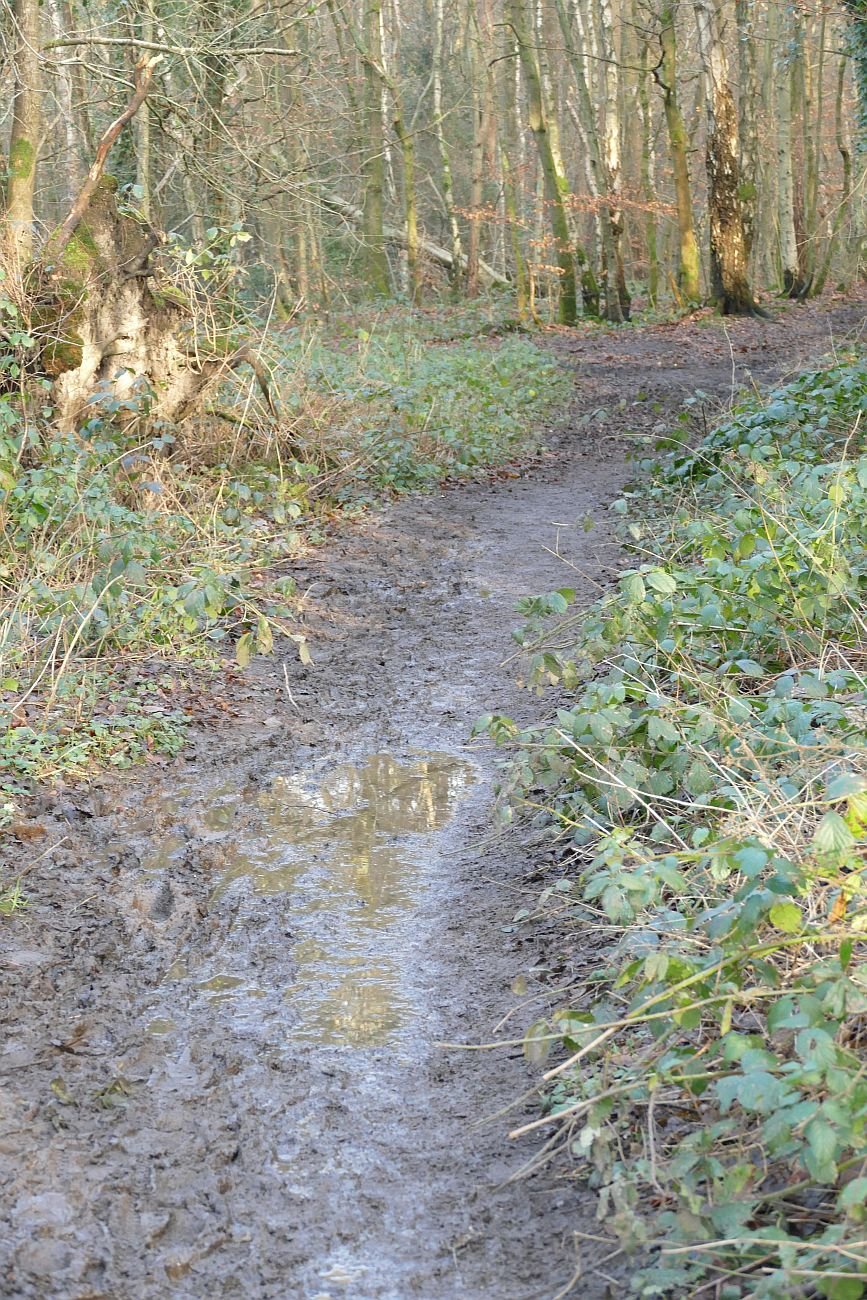
What has Limpsfield got today? Predictable, perhaps, the short answer is trees – lots and lots of them - and a golf course. Both Limpsfield Common and Limpsfield Chart are registered Commons, are open access land and are owned by the National Trust. The High Chart is none of these and is privately owned but at times it’s hard to tell the difference. All three areas are heavily used by walkers, strollers, dog exercisers - in other words anybody who fancies a breath of fresh air. There are public footpaths everywhere, and a plethora of forest rides and tracks on the High Chart which obviously get well used too. There is the Greensand Way, the Vanguard Way and even the Romans had a ‘way’ here in the shape of what is described as a minor Roman Road. Is this the Roman equivalent of a ‘B road’, or our modern historians’ denigration of what the Romans did for us?
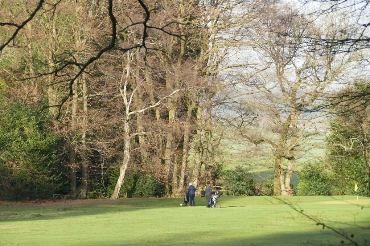
Below - Limpsfield Common: lots of deciduous woodland, tracks and paths, car parks and welcoming signs and golfers; there is even some remnant heather.


Below - Limpsfield Chart and High Chart: Limpsfield Chart is not dissimilar to Limpsfield Common but as you move into the High Chart the scale changes and so does the woodland. Here is Ancient Replanted Woodland, with stands of ‘exotic’ conifers amongst the native and deciduous species. There is evidence of ‘commercial’ forestry and Forestry Commission grant schemes. But the easy access and woodland mix still makes for a grand afternoon out.


Back in the 11th Century, Limpsfield Estate belonged to one Harold, he who met his end when opposing William of Normandy at the Battle of Hastings. Subsequently, William I (aka William the Conqueror) gave the estate to the monks of Battle Abbey. By the 14th century, this Abbey outlier seemed to be fairly prosperous, and a document of 1312 makes mention of dovecots, water mills and fisheries. Corke notes that the list of woodlands is long. Three of these woods (Chert, Echenwode and Stafherstwode) “are common to all tenants of the manor both free and unfree throughout the whole year for their animals”. There is also mention of other woods which could offer rights of pasture, and seasonal ‘pannage’ ie for pigs to feast on fallen acorns at the appropriate time. In addition, documents indicate the presence of arable land, meadow and pasture, but Corke points out that there is no mention of open ground or of heath, gorse or furze.
The 15th century has been interpreted as one of neglect and decay and, by the Dissolution of the Monasteries (including Battle Abbey, of course), there Corke now finds reference to extensive areas of heath and furze. The customs which protected (or limited!) tenants’ rights, and the value of the commons (probably supporting a mixed landscape of woodland, underwood, and wood pasture, as well as arable and open pasture) were clearly being flouted; change would have been inevitable. The reduction of the population during the Black Death, suggests Corke, may also have resulted in the conversion of arable to heathland.
It is tempting to talk about many other fascinating aspects of Commons – reductions in area due to encroachment, of ‘digging’ (for clay or other useful products), of changes in agricultural and silvicultural practice, of social, economic and legal changes, but I will not steal Shirely Corke’s thunder and leave her to entertain and inform you on these topics.
By the 18th and 19th centuries, under the ownership and stewardship of the Leveson Gower family, the somewhat fragmented estate was being partially reassembled, but despite many other changes, the commons are still windswept open spaces, although the march of recolonising deciduous woodland can just be detected by the early 20th century.


In the 1920s, however, the Leveson Gowers bought out a number of commoners’ rights, and made the commons available for public ‘air and exercise’, to be managed by a committee of local people. In 1972, Richard Leveson Gower gave the Commons to the National Trust (https://www.nationaltrust.org.uk/limpsfield-common). The High Chart – always wooded - remained as part of the family’s nearby Titsey Estate. By the 1960s, the return to woodland is pretty much complete.


All map images reproduced with the permission of the National Library of Scotland' https://maps.nls.uk/index.html
To summarise a book of some hundred pages, and with extensive illustrations, in three paragraphs is ridiculous. Buy it, read it, and lose yourself in the world of an ancient estate. And don’t worry about the technical stuff (avowsons, copyhold, dottards, firbote and Frankpledge). There is an excellent glossary at the end.